ObserveCirrostratus
Cs · High · 21 September 2026 · By
Cirrostratus: the veil that gives you a halo
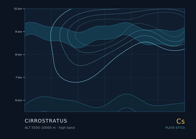
Cirrostratus is the cloud that makes the sky look like frosted glass. It is a thin, continuous, whitish veil of ice crystals at 5500 metres and above, and it is responsible for almost all the halos you will ever see. It is also the second step in the frontal sequence that ends in rain.
Cirrostratus
Cirrostratus
- Band
- High
- Altitude
- 5.5 km – 10 km
- Code
- Cs
- Seasonal window
- Cirrostratus is most common in autumn, winter and spring in mid-latitudes, tracking the seasonal southward shift of the polar front. In summer it is rarer and usually thinner. (Jan–Dec)
- Published
- 21 September 2026
- By
Weather clue
A 22° halo with a thickening veil means rain in the next 12-24 hours. A halo in a veil that then thins and breaks up means the front is missing you.
How to observe it
- Always test for a halo with the sun blocked by your hand, never by looking directly at the sun.
- Estimate the fraction of sky covered by the veil in oktas every 30 minutes while a front is approaching.
- Note the exact time the halo disappears — that marks the transition to altostratus and puts rain 1-3 hours away.
- Photograph your own shadow at midday; the softness of its edge is a useful low-tech thickness proxy.
How to find it when there is nothing to see
Cirrostratus is the hardest cloud to spot on a blue-sky day because it has almost no contrast. The two reliable tests are the halo test and the shadow test.
The halo test: block the sun with your hand and look for a ring 22° out. The halo is caused by refraction through hexagonal ice prisms, and it appears the moment the cirrostratus is more than a few hundred metres thick in the line of sight. The shadow test: stand in the open and look at your own shadow. Under cirrostratus the shadow has a soft, almost fuzzy edge, unlike the hard edge you get under a clear sky.
The halo catalogue
All of these are formed by ice crystals in cirrostratus or cirrus, and each one tells you something slightly different about crystal shape and orientation.
| Phenomenon | Appearance | Crystal responsible |
|---|---|---|
| 22° halo | Ring of radius 22° around the sun or moon | Randomly oriented hexagonal columns and plates |
| 46° halo | Fainter ring of radius 46° | Refraction through the prism faces at 90° |
| Sun dogs (parhelia) | Two bright patches on the 22° halo | Horizontally oriented plate crystals |
| Parhelic circle | White horizontal band through the sun | Vertically oriented column crystals |
| Circumzenithal arc | Bright upside-down rainbow near the zenith | Plate crystals, sun below 32° elevation |
| Sun pillar | Vertical shaft of light above or below the sun | Plate crystals wobbling as they fall |
Why cirrostratus is the rain warning
Cirrostratus thickening and lowering is the strongest single day-ahead signal of approaching frontal rain in the mid-latitudes. The physical reason is that the warm front's cloud shield is a slope: the highest, thinnest part reaches you first, and everything thicker is behind it.
The rate at which the veil thickens is a direct measure of the speed of approach. A veil that goes from barely detectable to covering the whole sky in 30 minutes means the front is moving fast. A veil that takes six hours to do the same is a slow front, and rain may still be 12 hours away.
- Stage 1 — faint cirrus streaks, no halo, sky still clearly blue.
- Stage 2 — cirrostratus veil with a 22° halo; the sun becomes a fuzzy disc.
- Stage 3 — the veil thickens to altostratus; the halo disappears and the sun becomes a bright patch.
- Stage 4 — altostratus to nimbostratus; the sun disappears entirely and rain begins within 1-3 hours.
The moon halo and the weather folklore
A lunar halo is the same phenomenon, and it is easier to observe because the moon is dim enough to look at directly. The folklore that a ring around the moon means rain within three days is not superstition — it is a reasonable summary of the frontal sequence, which in a typical mid-latitude system does bring rain 18 to 36 hours after the halo appears.
What the folklore gets wrong is the certainty. The halo tells you a frontal cloud shield is overhead. Whether that front passes over you or to your north depends on the track, which the halo cannot tell you.
Rules of thumb
- Cirrostratus is a continuous ice veil, not streaks — the halo is the easiest way to confirm it.
- A 22° halo appears as soon as the veil is optically thick enough; it is a refraction effect, not a reflection.
- Four-stage sequence: cirrus, cirrostratus with halo, altostratus losing the halo, nimbostratus with rain.
- Moon halos really do precede frontal rain by 18-36 hours in a typical system.
| The other cloud | Comparison — Cirrostratus |
|---|---|
| 高层云 · Altostratus | Under altostratus you get no halo and the sun is a diffuse bright patch rather than a disc; cirrostratus is thinner, higher and still allows a clean 22° halo. |
| 薄层云 · Thin stratus | Stratus is much lower and greyer, with no halo, and it dulls the sun rather than creating optical rings. |
The two or three genera this one is most often confused with, and the single feature that separates them.
Observation questions
Why does the halo disappear before the rain starts?
The halo vanishes as the veil thickens into altostratus. The ice crystals are still there but they are no longer optically thin enough for a single clean refraction path to survive, and the cloud at that level also starts to contain liquid droplets. The halo going is a sign of advance, not of retreat.
Can there be a halo without cirrostratus?
Yes. Dense cirrus spissatus and occasionally cirrocumulus can produce halos, and diamond dust at ground level produces them in polar regions. But a full 22° ring at mid-latitudes is almost always cirrostratus.