Cumulus
CuCumulus
Scattered humilis and mediocris over land in the afternoon means a stable, dry-ish boundary layer and no rain today. A single congestus tower among flat cumulus means one locally favoured spot is being fed harder than the rest.
Station status · uplifty.top
Every published field note as a plate, a band tag and a single weather clue. Filter by altitude band on the rail.
Cumulus
Scattered humilis and mediocris over land in the afternoon means a stable, dry-ish boundary layer and no rain today. A single congestus tower among flat cumulus means one locally favoured spot is being fed harder than the rest.
Stratus
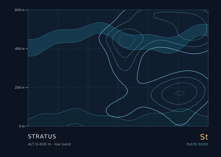
Stratus with a base that stays put and a light, steady wind means a stable, moist, well-mixed boundary layer. If you can see the deck getting thinner and brighter from the top down, expect burn-off; if it darkens and smudges at the base, expect drizzle.
Altocumulus
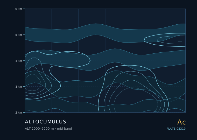
Scattered, thin, stable altocumulus in the morning means a quiet day. Altocumulus thickening and lowering with cirrus streaming in ahead of it means a front is on the way. Castellanus turrets are the one variety that justifies changing an afternoon plan.
Cirrus
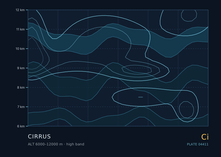
Cirrus increasing in coverage and thickening into a milky cirrostratus veil is the single most reliable day-ahead rain signal in the mid-latitudes. Cirrus in a narrow band that stays put and disappears is not.
Cumulonimbus
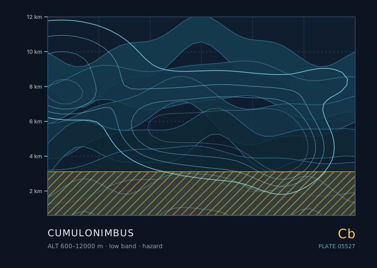
A single congestus tower that glaciates at the top, acquires a dark flat base and starts showing a rain shaft is 20-40 minutes from the mature stage. The gust front arriving before the rain is the reliable ground-level warning.
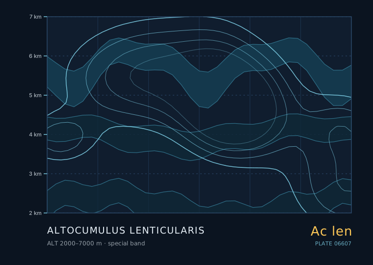
Altocumulus lenticularis
Sharp, stacked lenticulars persisting through the morning are a sign of a strong, stable, windy airmass aloft. If they appear with cirrus thickening behind them, a front is on the way and the wind will strengthen further.
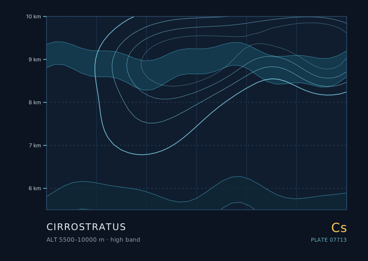
Cirrostratus
A 22° halo with a thickening veil means rain in the next 12-24 hours. A halo in a veil that then thins and breaks up means the front is missing you.
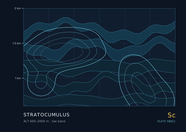
Stratocumulus
A closed stratocumulus deck with a steady wind means a stable marine or post-frontal airmass and a good chance of drizzle. Scattered open cells with plenty of blue mean a showery, unstable airmass with a shower risk.
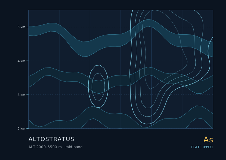
Altostratus
Altostratus thickening and lowering with the wind backing and pressure falling means steady rain within a few hours. Altostratus that stays thin, warm-toned and static all morning is often the leftovers of last night's storms and will break up.
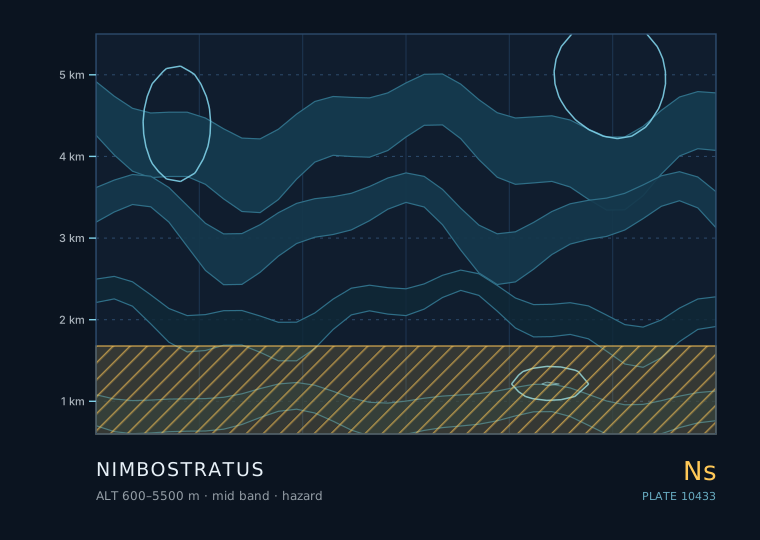
Nimbostratus
A uniform dark layer with steady rain and poor visibility is nimbostratus and the rain will last for hours. If the sky above shows any tower or anvil, it is convective and the rain will be showery and short.
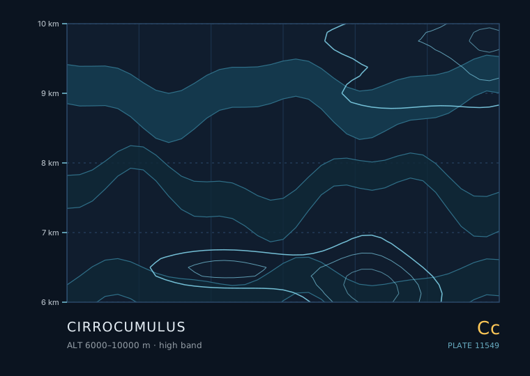
Cirrocumulus
Cirrocumulus that thickens through the morning and is followed by a milky veil means rain within 24 hours. Patchy cirrocumulus in a clear sky with steady pressure and no thickening means fair weather.
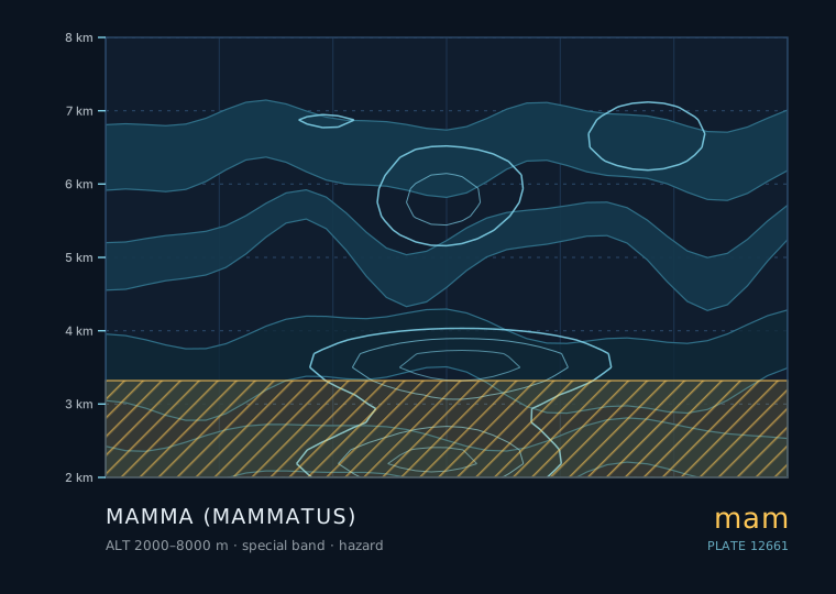
Mamma (mammatus)
Mammatus on the departing flank of a storm means the worst is over. Mammatus with new towers building upwind means more is coming. Mammatus with rotation underneath is an immediate shelter signal.
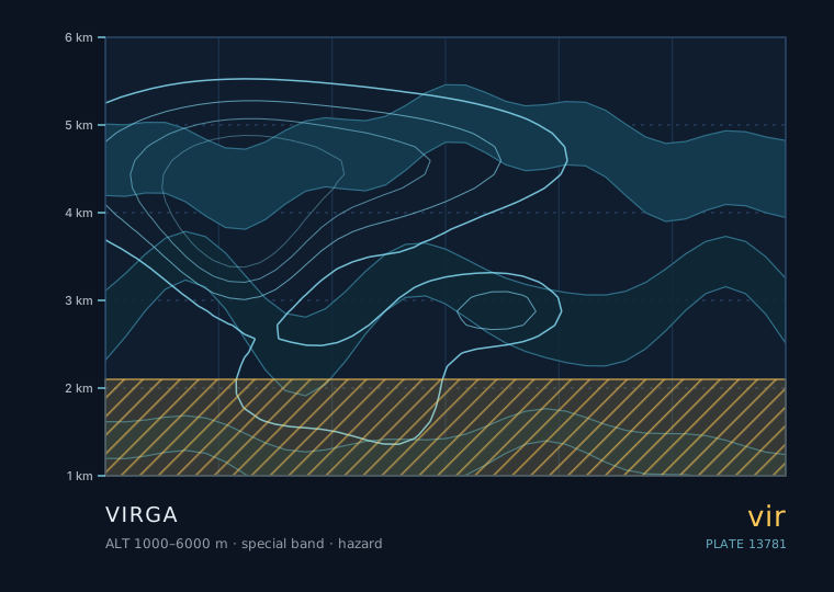
Virga
Virga under a developing cumulus or altocumulus means the sub-cloud layer is dry and the shower will not reach you. Virga under a mature cumulonimbus anvil with a fast-growing shaft is a gust-front warning.
Arcus
A low wedge advancing ahead of a dark storm base means a strong gust within minutes, followed by heavy rain. A shelf cloud with a smooth, sharply defined underside means a particularly well-organised outflow.
Cavum
A fallstreak hole means the cloud layer overhead is composed of supercooled water and is therefore unstable to any disturbance. If the layer later thickens into a frontal sequence, the precipitation from it may begin as snow even if the surface is above freezing.
Cirrus homogenitus
Contrails that start persisting and spreading mean the upper troposphere is moistening. If that is followed by a milky veil and a 22° halo, rain is 12-24 hours out.
The genera whose seasonal window covers the current month, running left to right from low to high.
A contrail is a cirrus cloud that would not exist without an aircraft. The World Meteorological Organization formalised this by giving them the name cirrus homogenitus — 'man-made cirrus'. They are worth observing carefully, because whether a contrail persists or vanishes within seconds is one of the best free measurements of upper-level humidity available to anyone on the ground.
A fallstreak hole is a circular or elliptical gap in a thin mid-level cloud, often with a delicate trail of ice crystals hanging below it. It is one of the very few cloud features that is almost certainly man-made, and it is a remarkably good demonstration of a physics process that also governs natural precipitation.
An arcus cloud is a low, horizontal, wedge-shaped cloud that forms at the leading edge of a thunderstorm's outflow. It looks like a rolling wave about to break over you, and in a very real sense that is exactly what it is. Learning to read arcus is the single most useful storm-safety skill an observer can acquire, because it arrives before the rain does.
Virga is precipitation falling from a cloud that evaporates before it reaches the ground. It is not a cloud genus — it is a supplementary feature, a suffix attached to whatever cloud is producing it. It is also one of the most common sources of a false weather report, because from a distance it looks exactly like rain.
Mammatus is one of the few cloud features that is unmistakable once you have seen it: a ceiling of smooth, hanging pouches, usually on the underside of a cumulonimbus anvil. It is spectacular, it is frequently described as a sign of a severe storm, and the folklore around it is mostly wrong in an interesting way.
Cirrocumulus is a thin, high sheet of very small white grains at 6000 to 10000 metres, made mostly of ice crystals with some supercooled water. When it covers a large area in ripples it is called a mackerel sky, and the folklore around it is older than any meteorological service. Some of that folklore is good; some of it is not.
Nimbostratus is a thick, dark, featureless layer that produces steady, continuous rain or snow over a wide area for hours. It has no distinct base you can measure, no elements, and no visible structure. It is the cloud that ruins weekends, and it is also the cloud that fills reservoirs.
Altostratus is the most consequential cloud in the frontal sequence, because by the time it is overhead, rain is no longer a question of whether but of when. It is a grey or bluish-grey sheet at 2000 to 5500 metres, thin enough to show the sun as a bright patch but thick enough to hide its disc entirely.
If you averaged the whole sky over the whole planet over a whole year, stratocumulus would win. It covers something like 20 to 25 per cent of the Earth's surface at any moment, mostly over the oceans, and it is the cloud that decides how much sunlight the planet reflects. It is also the cloud that most often gets called 'just grey' and then mis-identified.
Cirrostratus is the cloud that makes the sky look like frosted glass. It is a thin, continuous, whitish veil of ice crystals at 5500 metres and above, and it is responsible for almost all the halos you will ever see. It is also the second step in the frontal sequence that ends in rain.
A lenticular cloud is the only cloud that stays still while the air inside it is moving at 20 metres per second. It is a standing wave made visible: air flowing over a mountain ridge or through a strong shear layer rises, cools, condenses, then descends and evaporates, all at the same place. The cloud does not move because the pattern does not move.
Cumulonimbus is the only cloud genus that routinely produces hail, lightning, damaging gusts and tornadoes, and it is the only one where your observation practice has to include a decision about where to stand. It is a deep convective tower with an ice-crystal top, and it is genuinely different in kind from everything else in this atlas.
Cirrus is pure ice crystal at 6000 metres and above, and it is the earliest visible sign that something is about to change. Its wispy hooks and streaks look decorative, but they are the leading edge of the cloud system that will, in a day or so, be raining on you.
Altocumulus is the most useful cloud in the sky for short-range forecasting, and it is also the one people most often mistake for something else. It sits between roughly 2000 and 6000 metres, is made of water droplets rather than ice at its lower levels, and often arranges itself into rows, patches or a sheep-like mottling that gives away what the atmosphere above is doing.
Stratus is not really something you look at — it is something you are inside. It is a low, uniform grey layer with no visible elements, and its defining feature is that its base can be at the ground, at which point it is called fog. Nothing else in the sky has that property, and it changes how you observe it entirely.
Cumulus is the first cloud most people learn to name, and the one most often named wrongly. It is a convective cloud: it exists because a parcel of air near the ground got warmer than its surroundings and rose until it hit its condensation level. Everything you can read from a cumulus — base height, edge sharpness, vertical growth rate — comes directly from that single fact.
16 field notes published · 40 glossary terms live · Cloudwright · uplifty.top