Observe›Observe
Method
Observe
An observation practice you can run with no instruments, plus the seasonal windows, the seasonal band table and the safety rules that go with them.
The five-minute observation
Every entry in this atlas can be logged in five minutes. The routine below is deliberately instrument-free; add a thermometer and a barometer only once the habit is established.
- Step 1 · Write the time and position
Local clock time, and where you are standing. Cloud watching without a time stamp is decoration, not observation. Note the sun's approximate elevation from your own shadow length.
- Step 2 · Estimate total cloud cover in oktas
Divide the sky into eighths and count how many are covered. This single number is the most useful thing you will record, because its change over an hour is the forecast.
- Step 3 · Identify the dominant genus and its band
Name the genus, then place it on the altitude rail. If you cannot decide, record the arm's-length element size and the presence or absence of shading instead; those two facts will settle it later.
- Step 4 · Log one supporting measurement
Temperature and dew point for a base-height estimate, wind direction and estimated speed, or the flash-to-thunder interval. One supporting number turns an impression into a record.
- Step 5 · Note the trend, not the state
Cover is increasing, decreasing or steady; the base is rising or lowering; the cloud is growing, capped or dissolving. Trends are what forecasters use; states are what photographs show.
Instrument-free kit list
None of this is required, and all of it can be replaced with a notebook and a pencil. The point is that the measurement does not depend on the equipment.
- Your hand at arm's length — thumbnails, fingertips and fists are a calibrated angular scale that never needs batteries.
- Your own shadow — its sharpness is a proxy for cloud thickness, and its length gives the sun's elevation.
- A back-of-hand drizzle sensor — drizzle drops are under 0.5 mm and land as an almost invisible film that is easier to feel than to see.
- A printed oktas grid — a circle divided into eight, photocopied, is more reliable than estimating fractions in your head.
- A paper logbook — a page per day, five columns: time, oktas, genus, supporting measurement, trend.
- A thermometer and a barometer — optional, and the first two instruments worth adding, because temperature/dew point and 3-hourly pressure change are the highest-value numbers in surface observation.
Seasonal windows
Which genera are most likely in which season in the northern mid-latitudes, and what to look for when each one is in play.
Northern mid-latitude seasonal windows| Genus | Peak season | What to look for |
|---|
| Cumulus | Late April to early September | Species progressing fractus to congestus through the afternoon |
| Cumulonimbus | May to September, afternoon and evening | Glaciation of the top, dark flat base, gust front |
| Stratus | November to March, plus cold coasts in summer | Ceiling trend; whether the deck is lowering or lifting |
| Stratocumulus | October to March over land | Gap growth in the morning as a break-up predictor |
| Altocumulus | March to May, September to November | Castellanus turrets in mid-morning |
| Altostratus | October to March | The moment the sun's disc disappears |
| Nimbostratus | October to April | Rain onset and whether it is steady or showery |
| Cirrus | October to April | Cover increasing and thickening into cirrostratus |
| Cirrostratus | October to April | 22° halo, and how fast the veil thickens |
| Noctilucent | Late May to early August | Deep twilight, low towards the pole, 76-85 km up |
Safety rules that override everything else
Observation is a hobby; the following are not negotiable, and they apply whether or not the sky looks threatening.
- 30-30 lightning rule. If the interval between flash and thunder is 30 seconds or less, you are within about 10 km. Move to a substantial building or a hard-topped vehicle, and wait 30 minutes after the last thunder before going back out.
- Never shelter under an isolated tall tree, on a ridge, in an open field, or on a boat without a cabin. A car with a metal roof is safe; a golf cart or an open-top vehicle is not.
- Shelf cloud means leave now. A well-defined shelf cloud means a 20-30 m/s gust in one to three minutes. Move before it arrives, not after the first gust.
- Tuba and rotating lowerings mean shelter immediately. Do not stop to photograph a funnel cloud that is still descending.
- Heat and sun. The single most common injury in observational meteorology is not weather at all: it is sunburn and heat exhaustion from standing outdoors for hours. Water, a hat and a rest schedule are part of the kit.
- Never look directly at the sun. Test for halos and coronas with the sun blocked by your hand or by a distant building, never with your eyes alone.
Common observation questions
How do I tell altocumulus from stratocumulus without any equipment?
Hold your arm out at full length and compare one element. Altocumulus elements are about the size of your thumbnail; stratocumulus elements are hand-sized or larger. Altocumulus is also above 2000 m, so if you are looking at a deck at 800 m it is stratocumulus whatever it looks like.
Does a ring around the moon really mean rain?
It means a cirrostratus veil is overhead, which in a typical mid-latitude system does bring rain 18 to 36 hours later. It does not tell you whether the front will pass over you or to your north, so treat it as a probability rather than a prediction.
How do I know whether virga is reaching the ground?
Look at the ground beneath the shaft, not at the shaft. If a wet patch is spreading on the surface, or if the horizon behind the rain is obscured, the precipitation is landing. Dry ground under a visible shaft is the definition of virga.
Why do some contrails vanish instantly and others spread into a sheet?
It depends entirely on the humidity of the air the aircraft is flying through. Dry air sublimates the ice crystals within seconds; air that is supersaturated with respect to ice lets them grow and spread. Ice supersaturation is invisible from the ground, which is why persistent contrails are a useful measurement rather than just a curiosity.
Is mammatus a sign that a tornado is coming?
No. Mammatus means a cumulonimbus anvil is overhead, which means there was a strong storm nearby. It says nothing about whether that storm was severe or which way it is moving. Most mammatus sightings are on the back edge of a storm that has already passed.
How accurate is the 125-times-temperature-spread rule for cloud base?
Within about 20 per cent in the lowest 2 km, which is good enough for observation and marginal for aviation. It assumes a well-mixed boundary layer and a dew point depression of less than about 15 °C. It fails badly in strong inversions and in very dry air.
Observation records
Every published field note, newest first.
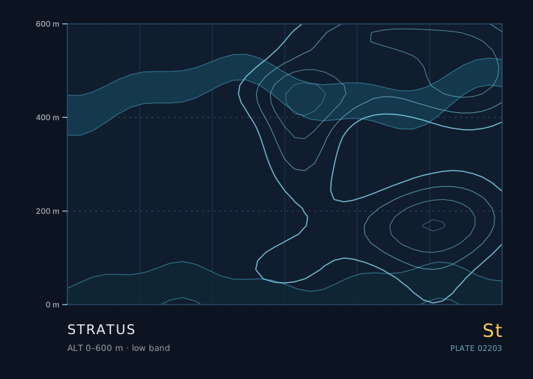
St Low 0–600 m Seasonal window: Jan–Dec 24 August 2026
Stratus is not really something you look at — it is something you are inside. It is a low, uniform grey layer with no visible elements, and its defining feature is that its base can be at the ground, at which point it is called fog. Nothing else in the sky has that property, and it changes how you observe it entirely.
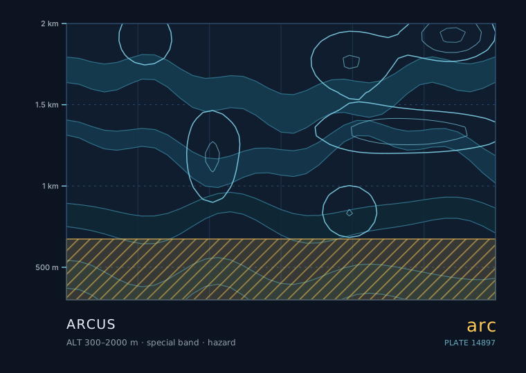
Hazard Special 300–2000 m Seasonal window: May–Sep 12 October 2026
An arcus cloud is a low, horizontal, wedge-shaped cloud that forms at the leading edge of a thunderstorm's outflow. It looks like a rolling wave about to break over you, and in a very real sense that is exactly what it is. Learning to read arcus is the single most useful storm-safety skill an observer can acquire, because it arrives before the rain does.
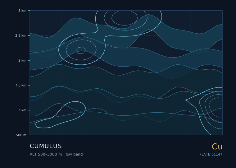
Cu Low 500–3000 m Seasonal window: Apr–Sep 18 August 2026
Cumulus is the first cloud most people learn to name, and the one most often named wrongly. It is a convective cloud: it exists because a parcel of air near the ground got warmer than its surroundings and rose until it hit its condensation level. Everything you can read from a cumulus — base height, edge sharpness, vertical growth rate — comes directly from that single fact.
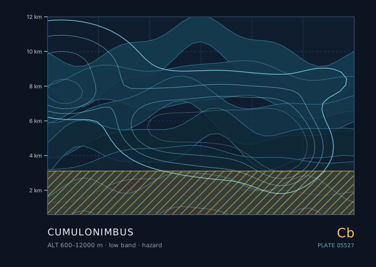
Hazard Low 600–12000 m Seasonal window: May–Sep 11 September 2026
Cumulonimbus is the only cloud genus that routinely produces hail, lightning, damaging gusts and tornadoes, and it is the only one where your observation practice has to include a decision about where to stand. It is a deep convective tower with an ice-crystal top, and it is genuinely different in kind from everything else in this atlas.
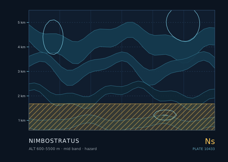
Hazard Middle 600–5500 m Seasonal window: Jan–Dec 30 September 2026
Nimbostratus is a thick, dark, featureless layer that produces steady, continuous rain or snow over a wide area for hours. It has no distinct base you can measure, no elements, and no visible structure. It is the cloud that ruins weekends, and it is also the cloud that fills reservoirs.
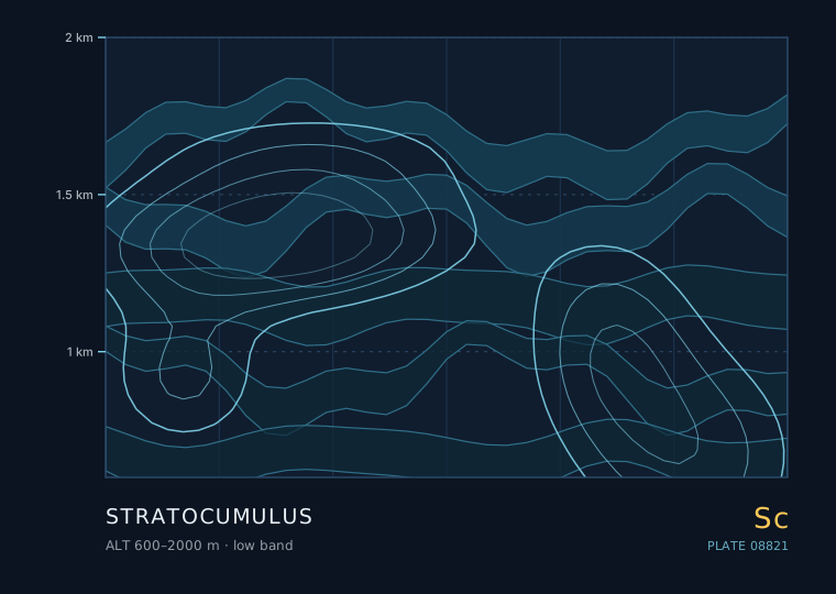
Sc Low 600–2000 m Seasonal window: Jan–Dec 24 September 2026
If you averaged the whole sky over the whole planet over a whole year, stratocumulus would win. It covers something like 20 to 25 per cent of the Earth's surface at any moment, mostly over the oceans, and it is the cloud that decides how much sunlight the planet reflects. It is also the cloud that most often gets called 'just grey' and then mis-identified.
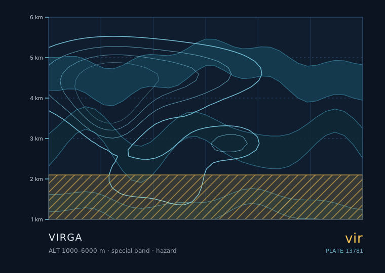
Hazard Special 1000–6000 m Seasonal window: Jan–Dec 9 October 2026
Virga is precipitation falling from a cloud that evaporates before it reaches the ground. It is not a cloud genus — it is a supplementary feature, a suffix attached to whatever cloud is producing it. It is also one of the most common sources of a false weather report, because from a distance it looks exactly like rain.
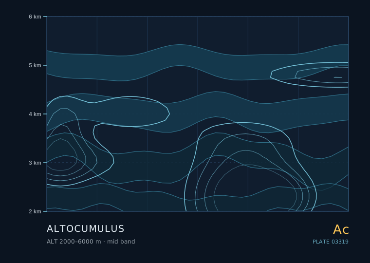
Ac Middle 2000–6000 m Seasonal window: Mar–Nov 30 August 2026
Altocumulus is the most useful cloud in the sky for short-range forecasting, and it is also the one people most often mistake for something else. It sits between roughly 2000 and 6000 metres, is made of water droplets rather than ice at its lower levels, and often arranges itself into rows, patches or a sheep-like mottling that gives away what the atmosphere above is doing.
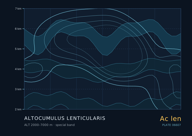
Ac len Special 2000–7000 m Seasonal window: Jan–Dec 17 September 2026
A lenticular cloud is the only cloud that stays still while the air inside it is moving at 20 metres per second. It is a standing wave made visible: air flowing over a mountain ridge or through a strong shear layer rises, cools, condenses, then descends and evaporates, all at the same place. The cloud does not move because the pattern does not move.
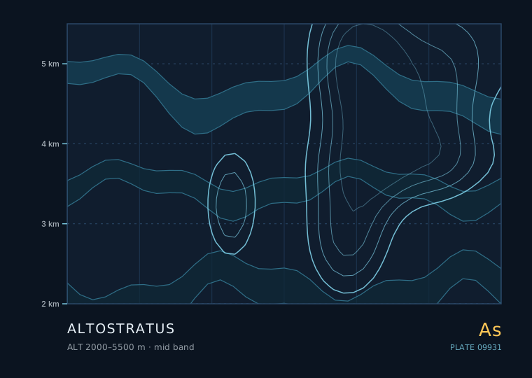
As Middle 2000–5500 m Seasonal window: Jan–Dec 27 September 2026
Altostratus is the most consequential cloud in the frontal sequence, because by the time it is overhead, rain is no longer a question of whether but of when. It is a grey or bluish-grey sheet at 2000 to 5500 metres, thin enough to show the sun as a bright patch but thick enough to hide its disc entirely.
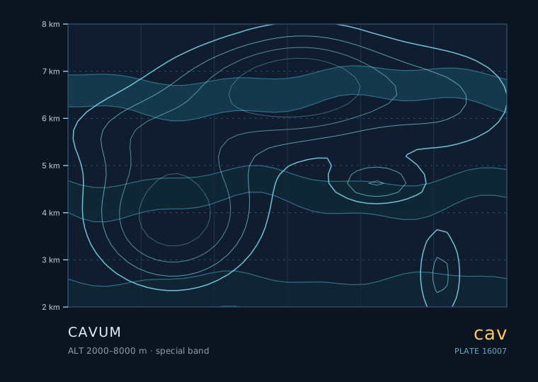
cav Special 2000–8000 m Seasonal window: Jan–Dec 15 October 2026
A fallstreak hole is a circular or elliptical gap in a thin mid-level cloud, often with a delicate trail of ice crystals hanging below it. It is one of the very few cloud features that is almost certainly man-made, and it is a remarkably good demonstration of a physics process that also governs natural precipitation.
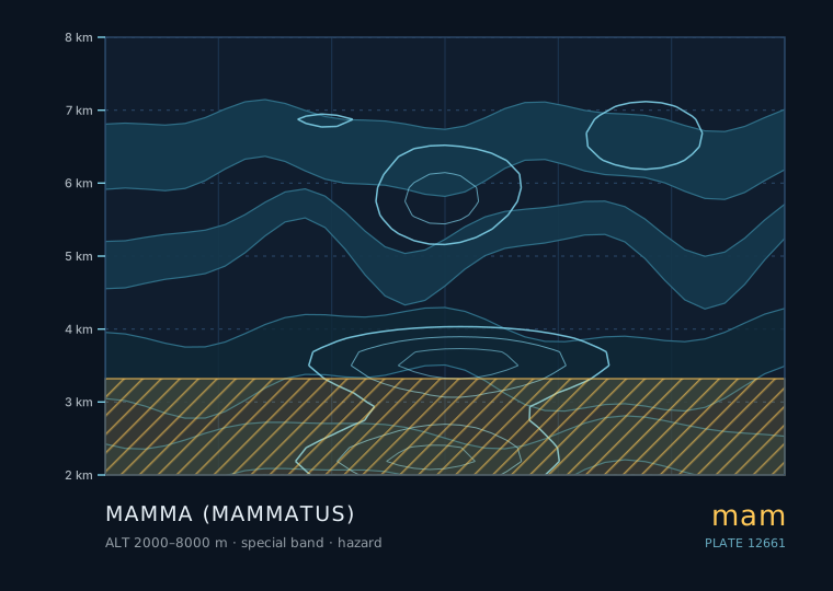
Hazard Special 2000–8000 m Seasonal window: May–Sep 6 October 2026
Mammatus is one of the few cloud features that is unmistakable once you have seen it: a ceiling of smooth, hanging pouches, usually on the underside of a cumulonimbus anvil. It is spectacular, it is frequently described as a sign of a severe storm, and the folklore around it is mostly wrong in an interesting way.
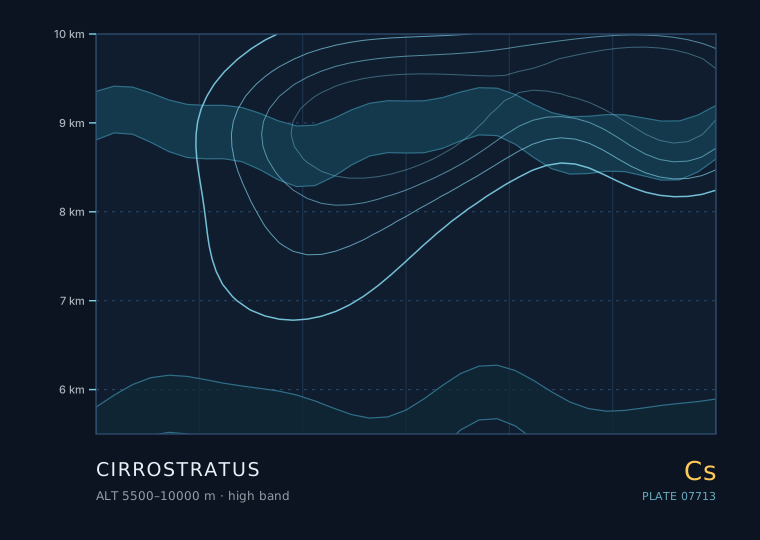
Cs High 5500–10000 m Seasonal window: Jan–Dec 21 September 2026
Cirrostratus is the cloud that makes the sky look like frosted glass. It is a thin, continuous, whitish veil of ice crystals at 5500 metres and above, and it is responsible for almost all the halos you will ever see. It is also the second step in the frontal sequence that ends in rain.
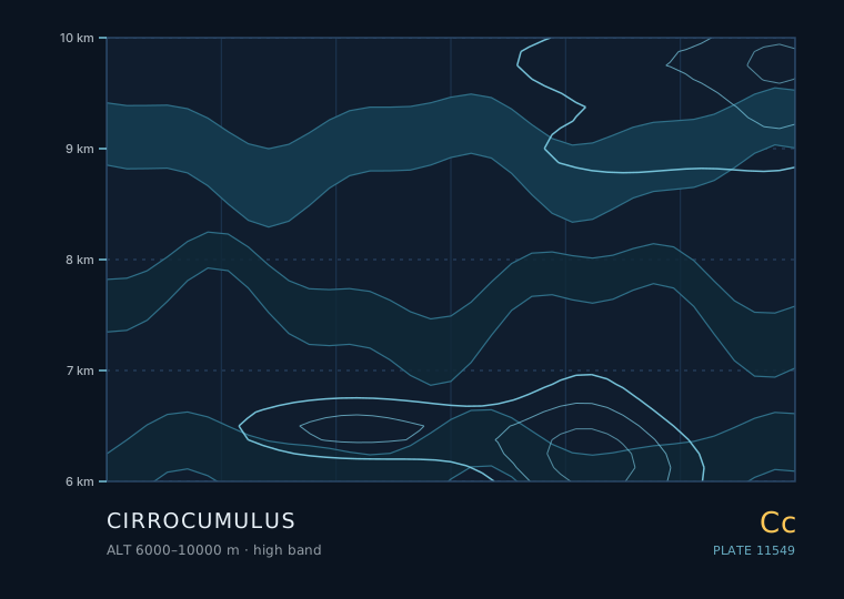
Cc High 6000–10000 m Seasonal window: Apr–Sep 3 October 2026
Cirrocumulus is a thin, high sheet of very small white grains at 6000 to 10000 metres, made mostly of ice crystals with some supercooled water. When it covers a large area in ripples it is called a mackerel sky, and the folklore around it is older than any meteorological service. Some of that folklore is good; some of it is not.
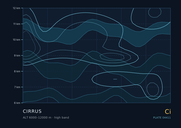
Ci High 6000–12000 m Seasonal window: Jan–Dec 5 September 2026
Cirrus is pure ice crystal at 6000 metres and above, and it is the earliest visible sign that something is about to change. Its wispy hooks and streaks look decorative, but they are the leading edge of the cloud system that will, in a day or so, be raining on you.
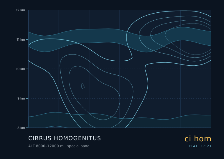
ci hom Special 8000–12000 m Seasonal window: Jan–Dec 18 October 2026
A contrail is a cirrus cloud that would not exist without an aircraft. The World Meteorological Organization formalised this by giving them the name cirrus homogenitus — 'man-made cirrus'. They are worth observing carefully, because whether a contrail persists or vanishes within seconds is one of the best free measurements of upper-level humidity available to anyone on the ground.