Skip to content

CloudsCloud atlas

Altitude bands

Cloud atlas

The full genus list, grouped by altitude band. Each card opens a two-page field note: a cross-section plate on the left, the genus data on the right, and a look-alike comparison table underneath.

16 live · 4 Altitude bands

Low · 4 in this band

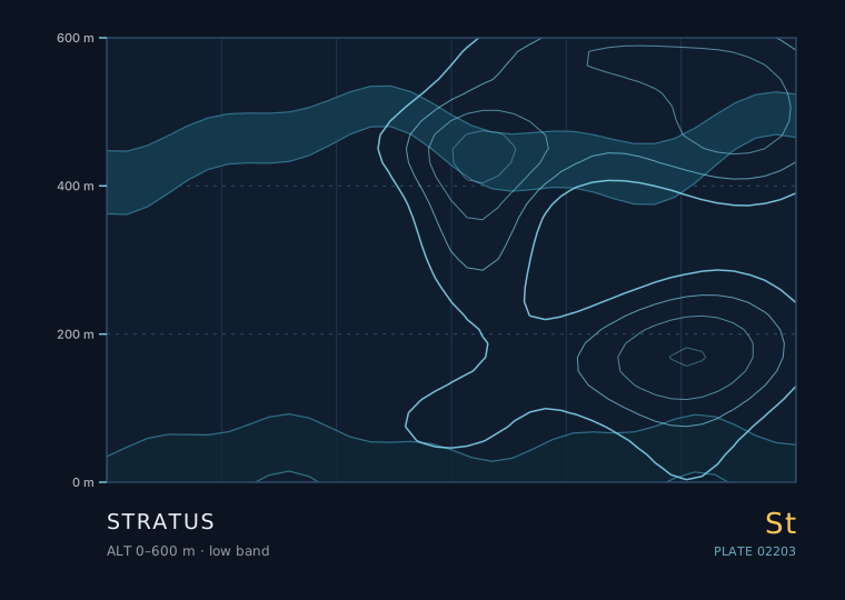
Stratus — isoline cross-section, 0 to 600 metres

Stratus

Stratus with a base that stays put and a light, steady wind means a stable, moist, well-mixed boundary layer. If you can see the deck getting thinner and brighter from the top down, expect burn-off; if it darkens and smudges at the base, expect drizzle.

Low 0–600 m
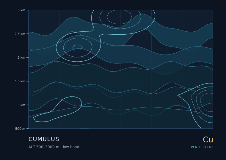
Cumulus — isoline cross-section, 500 to 3000 metres

Cumulus

Scattered humilis and mediocris over land in the afternoon means a stable, dry-ish boundary layer and no rain today. A single congestus tower among flat cumulus means one locally favoured spot is being fed harder than the rest.

Low 500–3000 m
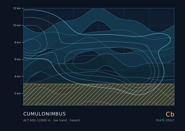
Cumulonimbus — isoline cross-section, 600 to 12000 metres

Cumulonimbus

A single congestus tower that glaciates at the top, acquires a dark flat base and starts showing a rain shaft is 20-40 minutes from the mature stage. The gust front arriving before the rain is the reliable ground-level warning.

Low 600–12000 m
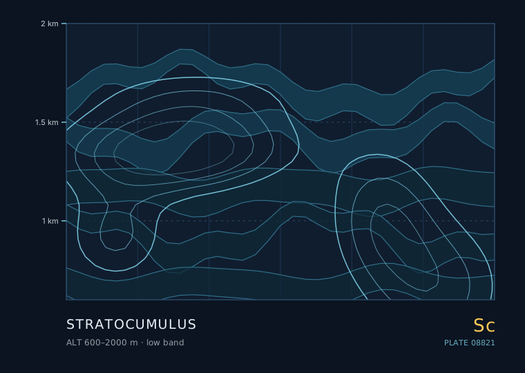
Stratocumulus — isoline cross-section, 600 to 2000 metres

Stratocumulus

A closed stratocumulus deck with a steady wind means a stable marine or post-frontal airmass and a good chance of drizzle. Scattered open cells with plenty of blue mean a showery, unstable airmass with a shower risk.

Low 600–2000 m

Middle · 3 in this band

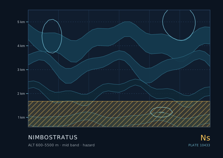
Nimbostratus — isoline cross-section, 600 to 5500 metres

Nimbostratus

A uniform dark layer with steady rain and poor visibility is nimbostratus and the rain will last for hours. If the sky above shows any tower or anvil, it is convective and the rain will be showery and short.

Middle 600–5500 m
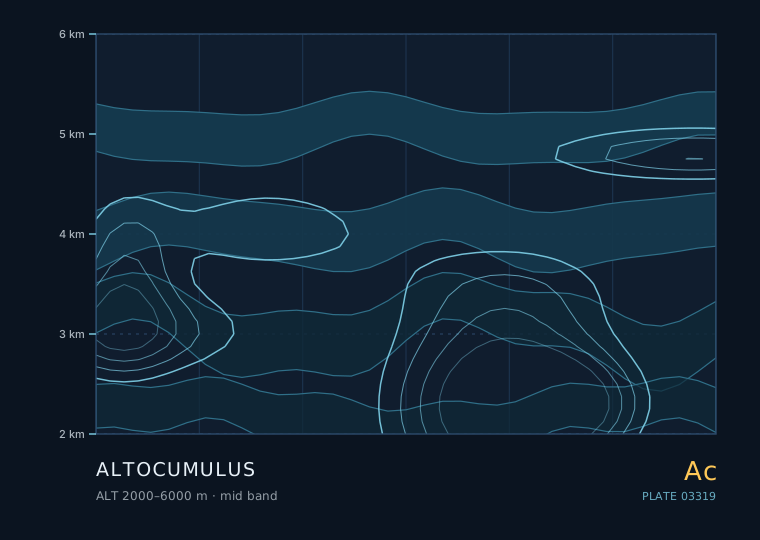
Altocumulus — isoline cross-section, 2000 to 6000 metres

Altocumulus

Scattered, thin, stable altocumulus in the morning means a quiet day. Altocumulus thickening and lowering with cirrus streaming in ahead of it means a front is on the way. Castellanus turrets are the one variety that justifies changing an afternoon plan.

Middle 2000–6000 m
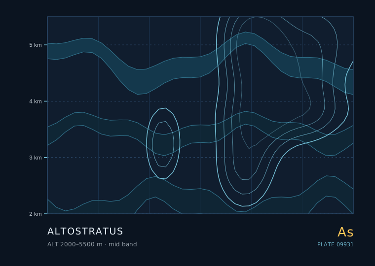
Altostratus — isoline cross-section, 2000 to 5500 metres

Altostratus

Altostratus thickening and lowering with the wind backing and pressure falling means steady rain within a few hours. Altostratus that stays thin, warm-toned and static all morning is often the leftovers of last night's storms and will break up.

Middle 2000–5500 m

High · 3 in this band

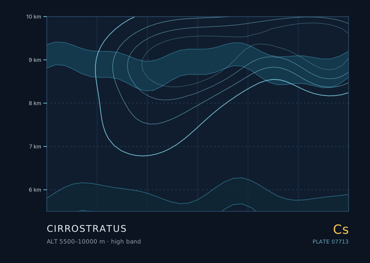
Cirrostratus — isoline cross-section, 5500 to 10000 metres

Cirrostratus

A 22° halo with a thickening veil means rain in the next 12-24 hours. A halo in a veil that then thins and breaks up means the front is missing you.

High 5500–10000 m
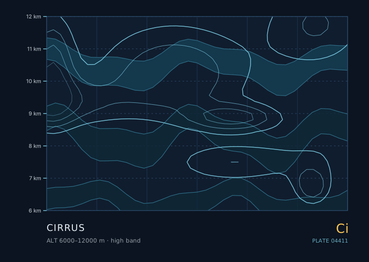
Cirrus — isoline cross-section, 6000 to 12000 metres

Cirrus

Cirrus increasing in coverage and thickening into a milky cirrostratus veil is the single most reliable day-ahead rain signal in the mid-latitudes. Cirrus in a narrow band that stays put and disappears is not.

High 6000–12000 m
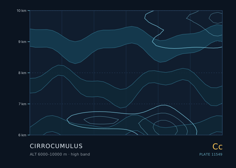
Cirrocumulus — isoline cross-section, 6000 to 10000 metres

Cirrocumulus

Cirrocumulus that thickens through the morning and is followed by a milky veil means rain within 24 hours. Patchy cirrocumulus in a clear sky with steady pressure and no thickening means fair weather.

High 6000–10000 m

Special · 6 in this band

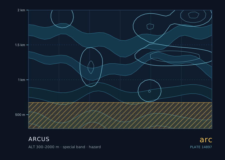
Arcus — isoline cross-section, 300 to 2000 metres

Arcus

A low wedge advancing ahead of a dark storm base means a strong gust within minutes, followed by heavy rain. A shelf cloud with a smooth, sharply defined underside means a particularly well-organised outflow.

Special 300–2000 m
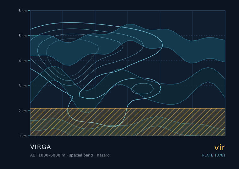
Virga — isoline cross-section, 1000 to 6000 metres

Virga

HAZARD

Virga

Virga under a developing cumulus or altocumulus means the sub-cloud layer is dry and the shower will not reach you. Virga under a mature cumulonimbus anvil with a fast-growing shaft is a gust-front warning.

Special 1000–6000 m
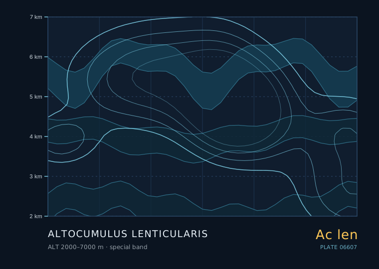
Altocumulus lenticularis — isoline cross-section, 2000 to 7000 metres

Altocumulus lenticularis

Sharp, stacked lenticulars persisting through the morning are a sign of a strong, stable, windy airmass aloft. If they appear with cirrus thickening behind them, a front is on the way and the wind will strengthen further.

Special 2000–7000 m
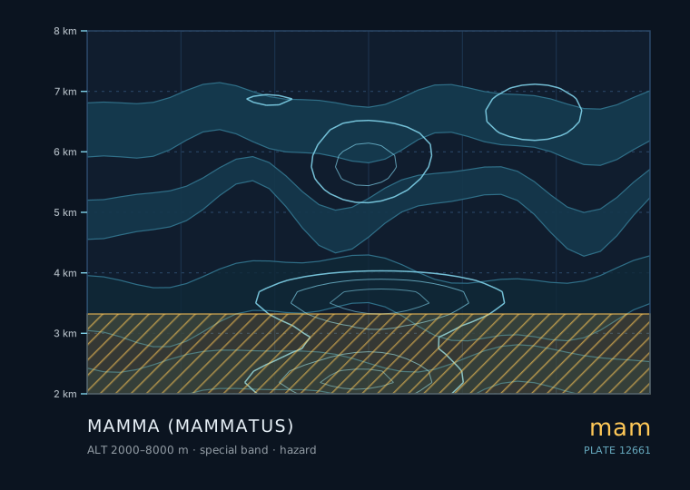
Mamma (mammatus) — isoline cross-section, 2000 to 8000 metres

Mammatus

HAZARD

Mamma (mammatus)

Mammatus on the departing flank of a storm means the worst is over. Mammatus with new towers building upwind means more is coming. Mammatus with rotation underneath is an immediate shelter signal.

Special 2000–8000 m
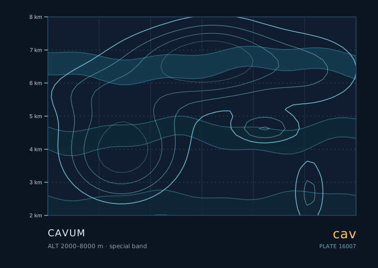
Cavum — isoline cross-section, 2000 to 8000 metres

Cavum

A fallstreak hole means the cloud layer overhead is composed of supercooled water and is therefore unstable to any disturbance. If the layer later thickens into a frontal sequence, the precipitation from it may begin as snow even if the surface is above freezing.

Special 2000–8000 m
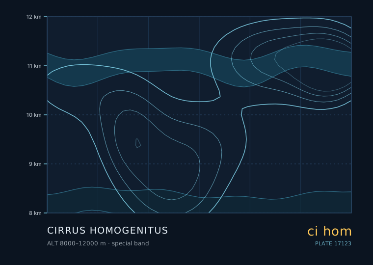
Cirrus homogenitus — isoline cross-section, 8000 to 12000 metres

Cirrus homogenitus

Contrails that start persisting and spreading mean the upper troposphere is moistening. If that is followed by a milky veil and a 22° halo, rain is 12-24 hours out.

Special 8000–12000 m

Atlas

The station

Language

Contact

Cloudwright · uplifty.top · Classification follows the WMO International Cloud Atlas. Content is educational and is not meteorological advice or a forecast service.

Content is for general informational and reference purposes only and does not constitute professional advice.