ObserveStratus
St · Low · 24 August 2026 · By
Stratus: the cloud you are standing inside
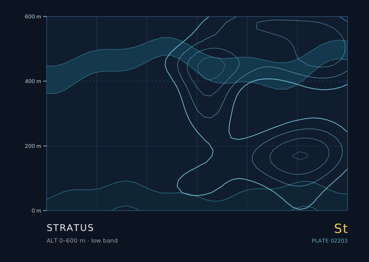
Stratus is not really something you look at — it is something you are inside. It is a low, uniform grey layer with no visible elements, and its defining feature is that its base can be at the ground, at which point it is called fog. Nothing else in the sky has that property, and it changes how you observe it entirely.
Stratus
Stratus
- Band
- Low
- Altitude
- 0 m – 600 m
- Code
- St
- Seasonal window
- Low stratus is a year-round feature but peaks in winter and early spring in mid-latitudes, and in late spring and summer along cold ocean coasts where sea-surface temperatures lag the air temperature by one to three months. (Jan–Dec)
- Published
- 24 August 2026
- By
Weather clue
Stratus with a base that stays put and a light, steady wind means a stable, moist, well-mixed boundary layer. If you can see the deck getting thinner and brighter from the top down, expect burn-off; if it darkens and smudges at the base, expect drizzle.
How to observe it
- Estimate the ceiling by finding the lowest point on the far skyline that is still visible, then estimate its height.
- Feel for drizzle with the back of your hand — drizzle drops are under 0.5 mm and land as a fine, almost invisible film.
- Note the wind speed. If it is under 3 m/s at ground level, expect the deck to persist; above 6 m/s, expect it to lift or break.
- Log whether the deck is thinning from the top down or thickening from the base up; they forecast opposite afternoons.
Stratus, fog and mist are the same cloud at different heights
The World Meteorological Organization treats fog as stratus with its base below eye level. The practical thresholds used in aviation and in most national weather services are: mist when visibility is 1000 m to 5 km, fog when visibility drops below 1000 m.
This is not pedantry. A stratus layer whose base is at 150 m gives you a completely different day from one whose base has settled onto the road, and the difference is often a 100 m change in the depth of a shallow mixed layer or a 1 °C change in surface temperature.
How to tell stratus from stratocumulus
This is the single most common cloud identification mistake. Both are low and grey. The test is whether you can see individual elements with a defined edge, and whether there is any blue showing through.
| Feature | Stratus | Stratocumulus |
|---|---|---|
| Elements | None — a featureless sheet | Distinct rolls, lumps or cells |
| Base texture | Flat, uniform, often ragged underneath | Lumpy, dark, with lighter gaps |
| Blue sky visible | Almost never | Usually at least a few breaks |
| Typical base | 0-600 m | 600-2000 m |
| Lighting | Dim, shadowless, flat | Some shading under each element |
| Sun/moon through it | A weak disc, if anything | Often visible through gaps |
Why a stratus deck is so hard to forecast
Stratus forms when a shallow layer of moist air is cooled to saturation from below or from within, without enough vertical motion to build anything taller. The two usual recipes are warm moist air running over a cold surface (advection fog or stratus) and overnight radiative cooling under a light wind.
Both are shallow and both are fragile. A wind that picks up from 2 to 8 m/s can mix the layer deeper and burn it off; a wind that drops to nearly calm lets the layer settle and thicken. That is why the difference between a grey morning and a sunny one can come down to a change of a few metres per second in a wind that most people would call 'light' either way.
Reading the sky under a stratus deck
Though stratus gives you almost no cloud structure, it gives you two excellent pieces of information.
- Ceiling trend. Watch how much of the far skyline is obscured. If the deck is lowering, drizzle is usually 30-60 minutes away.
- Drizzle onset. Stratus that starts producing drizzle usually first gets a slightly darker, smudged look at its base before any drops reach you.
- Daytime burn-off. If the deck brightens to a thin, pale grey, the sun is starting to penetrate; full break-up typically follows within an hour in summer.
- Night-time stability. A stratus deck that persists after sunset under light wind will very often still be there at dawn.
Rules of thumb
- Fog is stratus whose base has reached the ground; the visibility threshold for fog is 1000 m.
- The test against stratocumulus is elements and blue sky: stratus has neither.
- Stratus is a shallow-layer phenomenon and is extremely sensitive to wind speed.
- A lowering stratus deck usually means drizzle within the hour.
| The other cloud | Comparison — Stratus |
|---|---|
| 层积云 · Stratocumulus | Stratocumulus has visible elements with shaded undersides and usually a few blue gaps; stratus is a single flat sheet with none. |
| 雨层云 · Nimbostratus | Nimbostratus is much thicker and darker, sits higher, and gives steady moderate rain rather than drizzle; you can never see the sun through nimbostratus. |
The two or three genera this one is most often confused with, and the single feature that separates them.
Observation questions
Is a grey overcast day always stratus?
No. A closed stratocumulus deck is far more common over land and looks similar from underneath. The test is whether you can see any element, shading or blue gap. If the sheet is completely featureless and you can see no structure at all, it is stratus.
Why does stratus sometimes not burn off at all?
Because burn-off depends on mixing, and mixing depends on wind. If the wind stays under about 3 m/s the layer never mixes deeply enough to reach the dry air above the inversion, and the deck survives the whole day. A day with a forecast light wind is a day to expect persistent stratus.