ObserveAltocumulus lenticularis
Ac len · Special · 17 September 2026 · By
Altocumulus lenticularis: standing waves you can see
A lenticular cloud is the only cloud that stays still while the air inside it is moving at 20 metres per second. It is a standing wave made visible: air flowing over a mountain ridge or through a strong shear layer rises, cools, condenses, then descends and evaporates, all at the same place. The cloud does not move because the pattern does not move.
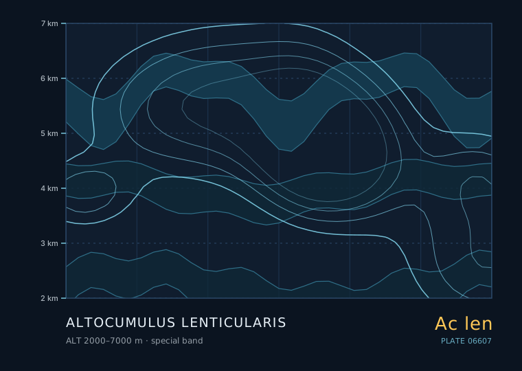
Altocumulus lenticularis
Altocumulus lenticularis
- Band
- Special
- Altitude
- 2 km – 7 km
- Code
- Ac len
- Seasonal window
- In mountain regions lenticulars are most frequent in winter and spring when the jet stream is strongest and crosses the ridge most directly. In lowland settings they occur year-round, most often in the 6-24 hours before a cold front. (Jan–Dec)
- Published
- 17 September 2026
- By
Weather clue
Sharp, stacked lenticulars persisting through the morning are a sign of a strong, stable, windy airmass aloft. If they appear with cirrus thickening behind them, a front is on the way and the wind will strengthen further.
How to observe it
- Photograph the lens twice, at least two hours apart, from a fixed spot to prove that it is not drifting.
- Measure the apparent width of the widest lens against a fixed landmark to estimate its distance.
- Note the vertical stack count; more than two stacked lenses is a strong-wind signature.
- Watch the lee side for a rotor cloud — a ragged, rapidly churning line below the wave crest means do not fly or launch anything there.
Why a lenticular does not drift
In an ordinary cloud the air and the cloud move together. In a lenticular, the air moves through the cloud. On the upwind side of the wave, air rises and reaches saturation, so a cloud edge appears. On the downwind side, the same air descends, warms and the droplets evaporate, so the edge disappears.
The result is a cloud that looks pinned to one place for as long as the wind and the stability hold — often several hours. Photographers who take a picture at 10:00 and another at 13:00 and find the same lens in the same place are not seeing a coincidence; they are seeing a standing wave.
What lenticulars tell you about the wind aloft
Lenticulars are a reliable indicator of two things: a stable layer with strong wind across it, and a source of lift — usually a ridge but sometimes a shear layer with no mountain at all. The stronger and more sharply defined the lens, the stronger the wind aloft.
| Appearance | Likely wind at cloud level | What to expect |
|---|---|---|
| Single soft lens, blurred edges | 10-20 m/s | Moderate mountain wave, smooth air |
| Sharp-edged single lens | 20-30 m/s | Strong wave, significant turbulence downwind |
| Stacked multiple lenses | 30-40 m/s | Very strong wave, severe turbulence possible |
| Lens plus a rotor cloud below | over 35 m/s | Dangerous rotor; extreme turbulence below the wave crest |
Where and when to look for them
The classic setting is 6 to 24 hours ahead of a cold front, when the air ahead of the front is stable and the jet is running hard across a north-south ridge. In the European Alps, the Rockies, the Andes and the Southern Alps of New Zealand, lenticulars are a routine feature of the winter and spring months.
You do not need a mountain, though. Lenticulars also form in strong shear without any terrain, especially in the warm sector ahead of a front, and these are usually thinner and shorter-lived.
Why pilots treat them as a warning
Mountain wave activity is a genuine aviation hazard. Reported turbulence in strong wave conditions can be severe enough to exceed an airliner's structural limits, and there are well-documented cases of aircraft losing thousands of metres of altitude in a wave. The lenticular cloud itself is smooth inside, but the downdraught on the lee side and the rotor underneath it are not.
In some parts of the world glider pilots deliberately use mountain wave to reach 10 000 metres and above — the same wave that is a hazard to powered aircraft is a resource to a glider, which is a useful reminder that the physics does not care about your intentions.
Rules of thumb
- A lenticular is a standing wave made visible; the air moves through it and the pattern stays put.
- Sharper, more sharply stacked lenses mean stronger wind aloft.
- Most common 6-24 hours ahead of a cold front with a strong jet across a ridge.
- Smooth inside the lens, but severe turbulence on the lee side and in the rotor below.
| The other cloud | Comparison — Altocumulus lenticularis |
|---|---|
| 荚状卷积云 · Cirrocumulus lenticularis | Cirrocumulus lenticularis lenses are much higher, smaller and made of ice, showing no shading and a slightly fibrous texture rather than the smooth water-droplet look. |
| 远处云砧形成的透镜状云 · Lenticular cloud from a distant anvil | Anvil debris can look lens-shaped but has ragged, fibrous edges and sits beneath or beside a cumulonimbus; a true lenticular has smooth, sharply defined edges. |
The two or three genera this one is most often confused with, and the single feature that separates them.
Observation questions
Why does the cloud not blow away?
Because the air is moving through the cloud, not with it. On the upwind side of the wave, rising air condenses; on the downwind side, sinking air evaporates the droplets. The cloud you see is the region between those two points, and that region stays in one place as long as the wind and stability hold.
Do lenticulars always mean a mountain is nearby?
No, but most strong ones do. Terrain is the most efficient way to generate a standing wave, but a strong shear layer can do it too, which is why lenticulars occasionally appear over flat country ahead of a front.