ObserveMammatus
mam · Special · 6 October 2026 · By · Hazard
Mammatus: the pouches that mean the storm is leaving
Mammatus is one of the few cloud features that is unmistakable once you have seen it: a ceiling of smooth, hanging pouches, usually on the underside of a cumulonimbus anvil. It is spectacular, it is frequently described as a sign of a severe storm, and the folklore around it is mostly wrong in an interesting way.
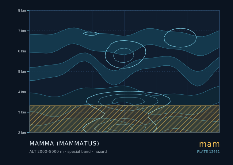
Mamma (mammatus)
Mammatus
- Band
- Special
- Altitude
- 2 km – 8 km
- Code
- mam
- Seasonal window
- Mammatus follows deep convection, so in the northern mid-latitudes it peaks from May to September in the late afternoon and evening. It is possible anywhere cumulonimbus occurs. (May–Sep)
- Published
- 6 October 2026
- By
Weather clue
Mammatus on the departing flank of a storm means the worst is over. Mammatus with new towers building upwind means more is coming. Mammatus with rotation underneath is an immediate shelter signal.
How to observe it
- Note which edge of the storm the mammatus is on: leading edge means it is arriving, rear edge means it has passed.
- Record the time and the sun's elevation; mammatus needs a low sun to show its shading.
- Check for rotation in any lowering beneath the base — if there is rotation, stop observing and get to shelter.
- Include a fixed landmark in every photograph so that the pouch scale is measurable.
Hazard. This genus is associated with thunderstorms, downbursts, hail or severe gusts. Apply the 30-30 rule: a flash-to-thunder interval of 30 seconds or less puts you within about 10 km. Observe from substantial shelter, never from under an isolated tall tree, on a ridge or in the open.
How the pouches form
Mammatus forms when the air in a cloud layer is sinking in localised blobs while the surrounding air is not. Each pouch is a descending parcel of cloud that is colder and denser than its surroundings, and it keeps its shape because the parcel is saturated, so any descent immediately evaporates water and cools it further.
That self-cooling is the key. A dry descending parcel would warm by compression and stop descending; a saturated one cools as it sinks, remains denser, and carries on. This is why mammatus can be sharply defined even while the rest of the cloud is dissolving around it.
The folklore, and what is actually true
Mammatus is widely said to forecast tornadoes or severe weather. The evidence is mixed and worth stating precisely.
What is true: mammatus occurs most often on the underside of a cumulonimbus anvil, and cumulonimbus anvils are produced by deep convection, which is also what produces severe weather. So a sky with mammatus has, on that day, contained a strong storm somewhere nearby.
What is not true: the presence of mammatus tells you nothing about whether that storm was severe, whether it is still severe, or whether it is coming towards you. In the great majority of cases mammatus is seen on the back edge of a storm that has already passed, or on the anvil of a storm 50 km away.
| What you see | What it means |
|---|---|
| Mammatus on the rear flank of a storm moving away | The storm has passed; the danger has passed with it |
| Mammatus over a wide area with new towers upwind | The system is still active; further storms are likely |
| Mammatus on a thin, decaying anvil in a clear sky | Nothing further expected |
| Mammatus on a deck with a greenish base and a rotating lowering | Tornadic storm in progress — take shelter |
Why it is usually seen in the evening
Mammatus is disproportionately reported in the hour before and after sunset, and the reason is partly optical and partly real. Optically, the low sun angle rakes across the pouches and gives them the strong shading that makes them visible at all; overhead sunlight flattens them out completely. In reality, afternoon and evening convection peaks produce anvils that spread out and begin to dissipate exactly as the sun gets low.
For observers this means a mammatus hunt is a late-afternoon and evening activity. If the sky is grey and featureless at 15:00, that does not rule out an excellent display at 19:30.
Photographing them usefully
Mammatus photographs are easy to take badly, because the automatic exposure of a phone camera will try to expose for the bright sky and flatten the pouches. A few practical points help.
Expose for the bright part of the anvil so the pouches record as darker shapes with clear boundaries. Include a fixed reference — a roofline, a tree, a mast — so the scale and the shading direction are readable. Shoot across the sun rather than towards it. And record the time relative to the storm: a mammatus photograph with no note about which direction the storm was moving is close to useless as an observation.
Rules of thumb
- Mammatus pouches are saturated descending parcels that cool as they sink, which is why they keep their shape.
- Mammatus implies a nearby cumulonimbus but tells you nothing about severity or direction of travel.
- Most sightings are on the rear edge of a storm that has already passed.
- It is seen most often near sunset because a low sun angle is what makes the pouches visible.
- Mammatus with a green base and a rotating lowering is the one combination that means shelter now.
| The other cloud | Comparison — Mammatus |
|---|---|
| 悬球状层积云 · Stratocumulus mammatus | Pouches on a low stratocumulus deck are smaller, shorter-lived and follow a downdraught rather than a cumulonimbus anvil. |
| 开尔文—亥姆霍兹波 · Kelvin-Helmholtz billows | Kelvin-Helmholtz billows are breaking wave curls that look like a row of breaking ocean waves; mammatus pouches hang downward as rounded blobs with no curl. |
The two or three genera this one is most often confused with, and the single feature that separates them.
Observation questions
Why do the pouches keep such sharp shapes?
Because each pouch is a saturated descending parcel that cools as it sinks, which makes it denser than its surroundings and keeps it sinking. A dry parcel would warm by compression and stop. Self-cooling is what lets mammatus persist while the rest of the cloud dissolves.
Does mammatus mean tornadoes?
No. It means a cumulonimbus anvil is overhead, which means a strong storm existed nearby. It carries no information about severity or direction of travel, and most sightings are on the trailing edge of a storm that has already passed.