ObserveNimbostratus
Ns · Middle · 30 September 2026 · By · Hazard
Nimbostratus: the cloud that rains for a day
Nimbostratus is a thick, dark, featureless layer that produces steady, continuous rain or snow over a wide area for hours. It has no distinct base you can measure, no elements, and no visible structure. It is the cloud that ruins weekends, and it is also the cloud that fills reservoirs.
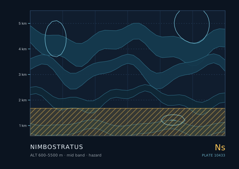
Nimbostratus
Nimbostratus
- Band
- Middle
- Altitude
- 600 m – 5.5 km
- Code
- Ns
- Seasonal window
- Nimbostratus is most common in autumn, winter and spring with mid-latitude frontal systems. In the tropics it is rarer, appearing mainly with monsoon or large-scale convective systems. (Jan–Dec)
- Published
- 30 September 2026
- By
Weather clue
A uniform dark layer with steady rain and poor visibility is nimbostratus and the rain will last for hours. If the sky above shows any tower or anvil, it is convective and the rain will be showery and short.
How to observe it
- Record the rain start time and rate the intensity every 30 minutes on a 1-5 scale so the total duration is measurable.
- Check the visibility during the rain; under nimbostratus it is typically 1-4 km, which distinguishes it from a convective shower.
- In winter, check for ice on a metal surface within 30 minutes of the rain starting — freezing rain forms a clear glaze within minutes.
- Note whether the rain stops gradually or abruptly; a gradual stop confirms nimbostratus.
Hazard. This genus is associated with thunderstorms, downbursts, hail or severe gusts. Apply the 30-30 rule: a flash-to-thunder interval of 30 seconds or less puts you within about 10 km. Observe from substantial shelter, never from under an isolated tall tree, on a ridge or in the open.
The difference between steady rain and showery rain
This is the most practically useful distinction in weather observation, and nimbostratus is one half of it. The other half is cumulonimbus.
Steady rain from nimbostratus has a gradual onset, an even intensity that can go on for 6 to 18 hours, and a gradual end. The cloud above it is a uniform layer. Showery rain from cumulonimbus or cumulus congestus starts and stops abruptly, varies in intensity minute to minute, and the cloud above has a distinct tower or anvil.
| Property | Nimbostratus (steady) | Cumulonimbus (showery) |
|---|---|---|
| Onset | Gradual, over 30-60 min | Sudden, seconds to a minute |
| Intensity | Even, rarely changes much | Highly variable |
| Duration | 6-18 hours typical | 10-40 minutes typical |
| Drop size | Small to moderate, uniform | Often large, mixed sizes |
| Visibility during | Poor, misty, low cloud base | Variable, often improves between showers |
| Thunder | Rare | Common |
Why there is no visible base
Nimbostratus has no defined base because the rain is falling through the cloud's own lower boundary and evaporating and re-condensing all the way down. What you see as the base is not a condensation level; it is a level where the visibility through a mass of falling precipitation becomes effectively zero.
That is why observers often record the cloud base as 'indefinite' or write a ceiling value with a note that it is obscured. It is also why the ceiling reported in an aviation observation under nimbostratus is often far lower than the actual cloud base — the observer is measuring the level at which the sky stops being visible, not the level at which the cloud starts.
Where the water comes from
Nimbostratus produces more total water than a thunderstorm does, just far more slowly. The mechanism is called the seeder-feeder process, and it is worth knowing because it explains why frontal rain can be so persistent.
- Seeder. Ice crystals form high up in the cirrostratus / altostratus part of the frontal cloud shield and fall slowly.
- Feeder. Below them, in the altostratus and nimbostratus layers, there is a large reservoir of supercooled water droplets.
- Collection. As the falling ice crystals pass through the supercooled water, the droplets freeze onto them and the crystal grows rapidly.
- Result. A crystal that would have evaporated long before reaching the ground becomes a raindrop large enough to survive the fall, and the process runs for as long as the frontal shield is overhead.
Snow, sleet and freezing rain
Nimbostratus in winter produces the full range of winter precipitation, and the determining factor is the temperature profile in the lowest 1 to 2 km.
If the entire column is below freezing you get snow. If there is a shallow above-freezing layer at the surface you get sleet or, if the layer is deeper and the snow melts fully before refreezing, freezing rain. Freezing rain is the dangerous one: it looks like ordinary rain and forms an invisible ice glaze on contact with any surface below freezing. It is the single most common cause of serious winter road accidents in the mid-latitudes.
Rules of thumb
- Nimbostratus gives steady rain with a gradual onset and end, typically lasting 6-18 hours.
- Its 'base' is a visibility threshold, not a condensation level, which is why ceilings are reported as indefinite.
- The seeder-feeder process explains why frontal rain is so persistent and so widespread.
- In winter, the temperature profile in the lowest 1-2 km decides between snow, sleet and freezing rain.
| The other cloud | Comparison — Nimbostratus |
|---|---|
| 高层云 · Altostratus | Altostratus is not yet raining; the moment rain reaches the ground continuously, the cloud is nimbostratus. Altostratus also shows a faint sun patch, which nimbostratus never does. |
| 层积云 · Stratocumulus | Stratocumulus still shows elements and shading and only gives drizzle; nimbostratus is a uniform sheet with steady moderate rain. |
The two or three genera this one is most often confused with, and the single feature that separates them.
Observation questions
Why is the reported ceiling often much lower than the real cloud base?
Because under nimbostratus there is no visible base. The observer is recording the height at which the sky stops being visible through falling precipitation, not the height at which the cloud begins. In heavy rain the two can differ by a kilometre.
Can nimbostratus produce lightning?
It can, but it is rare. Nimbostratus lacks the strong updraughts that separate charge efficiently, so electrical activity is uncommon. Lightning under a featureless layer of steady rain usually means an embedded cumulonimbus is hiding inside the layer.