ObserveAltocumulus
Ac · Middle · 30 August 2026 · By
Altocumulus: the mid-level checkerboard and what it warns about
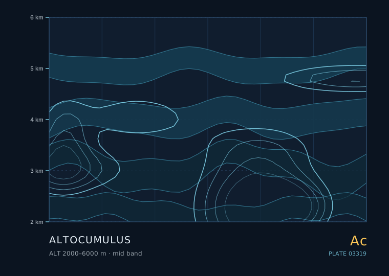
Altocumulus is the most useful cloud in the sky for short-range forecasting, and it is also the one people most often mistake for something else. It sits between roughly 2000 and 6000 metres, is made of water droplets rather than ice at its lower levels, and often arranges itself into rows, patches or a sheep-like mottling that gives away what the atmosphere above is doing.
Altocumulus
Altocumulus
- Band
- Middle
- Altitude
- 2 km – 6 km
- Code
- Ac
- Seasonal window
- Altocumulus is present all year. Castellanus is most common in late spring and summer, when mid-level instability is easiest to achieve ahead of an approaching trough. (Mar–Nov)
- Published
- 30 August 2026
- By
Weather clue
Scattered, thin, stable altocumulus in the morning means a quiet day. Altocumulus thickening and lowering with cirrus streaming in ahead of it means a front is on the way. Castellanus turrets are the one variety that justifies changing an afternoon plan.
How to observe it
- Run the thumbnail test on three separate elements rather than one, and take the median.
- Look for turrets on the element tops at around 08:00-10:00 local time; that is when castellanus is most diagnostic of the coming afternoon.
- Check whether the sun or moon shows through as a clearly defined disc — that points to altocumulus translucidus rather than altostratus.
- Log the deck's height trend over an hour; a lowering, thickening deck is the front signal, a thinning one is not.
The thumbnail test
Hold your arm out at full length and look at one element with one eye closed. If the element is about the size of your thumbnail, you are looking at altocumulus. If it is about the size of your whole hand, it is stratocumulus and therefore much lower. If it is about the size of a fingertip, it is cirrocumulus and much higher.
The test works because your arm length is roughly constant, so the apparent size maps onto a real angular size, and angular size maps onto altitude for a cloud of a given physical scale. It is crude, but it is right far more often than it is wrong, and it needs no equipment.
Altocumulus castellanus is the one to watch
Most altocumulus is a harmless mid-level sheet. The exception is altocumulus castellanus — small turrets rising from the top of each element, like tiny castle battlements. It forms when the mid-level air is becoming unstable, and it is a recognised signature of potential afternoon thunderstorm development.
The reason is straightforward: castellanus means the layer above the cloud has a steep enough lapse rate that a small nudge upward keeps going. If that instability deepens through the morning, convection that starts at the surface in the afternoon has a much easier path to becoming deep.
| Variety | Look | Reading |
|---|---|---|
| stratiformis | Broad flat sheets or patches | Stable mid-levels; no immediate change |
| floccus | Small ragged tufts with virga below | Mid-level moisture increasing; watch it |
| castellanus | Turrets rising from element tops | Mid-level instability — thunderstorms possible later |
| lenticularis | Smooth lens or almond shapes | Strong wind and mountain wave aloft |
| undulatus | Parallel bands or waves | Wind shear across the layer; often precedes a front |
| translucidus | Thin enough to let the sun through clearly | Recently formed or thinning layer |
Altocumulus ahead of a warm front
A warm front approaching from the west gives a textbook sequence, and altocumulus is the third act. It goes: cirrus, then cirrostratus thickening and lowering, then altocumulus and altostratus, then nimbostratus and rain.
The timing rule of thumb in a typical mid-latitude warm front is that rain arrives 6 to 12 hours after the altocumulus stage begins, and the altocumulus deck itself lowers and thickens through that window. If the altocumulus is in a wide, thinning patch and the cirrus behind it is breaking up, the front is weakening or passing to your north.
Why altocumulus sometimes glows at sunset
Altocumulus at the upper end of its altitude range is high enough to catch the sun for several minutes after the surface has gone into shadow. That is why the most spectacular orange and pink skies are usually altocumulus rather than low cloud — low cloud is already in the earth's shadow and can only look dark.
This also gives you a small altitude measurement. If a cloud is still brightly lit 20 minutes after sunset, it is almost certainly above 3000 m.
Rules of thumb
- Arm's-length thumbnail test: thumbnail = altocumulus, hand = stratocumulus, fingertip = cirrocumulus.
- Altocumulus castellanus signals mid-level instability and a thunderstorm risk later in the day.
- In a classic warm front, rain follows the altocumulus stage by roughly 6 to 12 hours.
- Altocumulus still brightly lit 20 minutes after sunset is above about 3000 m.
| The other cloud | Comparison — Altocumulus |
|---|---|
| 卷积云 · Cirrocumulus | Cirrocumulus grains are fingertip-sized, never show shading, and sit above 6000 m; altocumulus elements are bigger and have visible shading on their undersides. |
| 层积云 · Stratocumulus | Stratocumulus elements are hand-sized to fist-sized and much lower; altocumulus is distinguished by the thumbnail test. |
The two or three genera this one is most often confused with, and the single feature that separates them.
Observation questions
Can altocumulus produce rain?
Not directly. Altocumulus is too thin and too high to produce precipitation that reaches the ground in most cases; the virga you sometimes see beneath floccus elements evaporates first. Its forecasting value is as a precursor, not as a source.
Why does altocumulus sometimes look like it is arranged in rows?
Because it often is. Rows form when a stable layer has wind shear across it, which organises the convection into parallel roll vortices. The spacing of the rows is a rough measure of the depth of the unstable layer, typically one to three times the layer depth.